Four corridors: North, East, West, South
Four countries, one method. Each corridor page shows what is being built, what the satellites saw, and what changed, using the same free data and the same honest rules.
North: Egypt
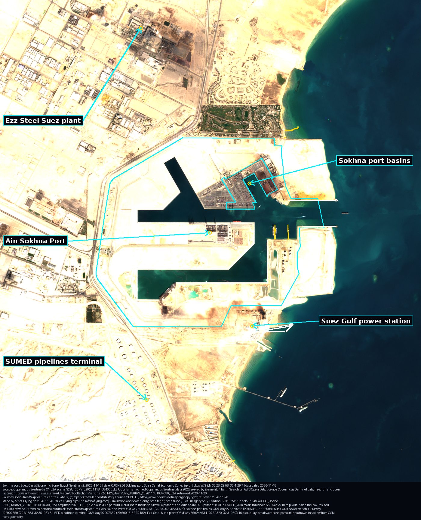

Sokhna port on the Red Sea, and the Giza pyramids as our landmark scene.
East: Kenya
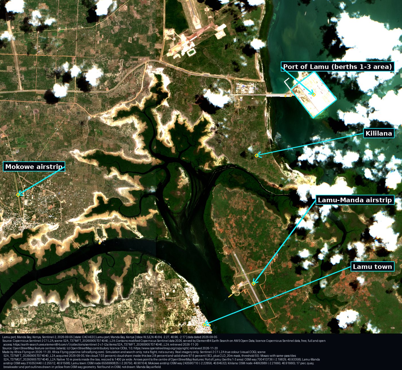

LAPSSET, our first corridor and the blueprint: Lamu port, the Garissa-Isiolo road, Isiolo-Moyale and Isiolo-Lokichar.
West: Nigeria
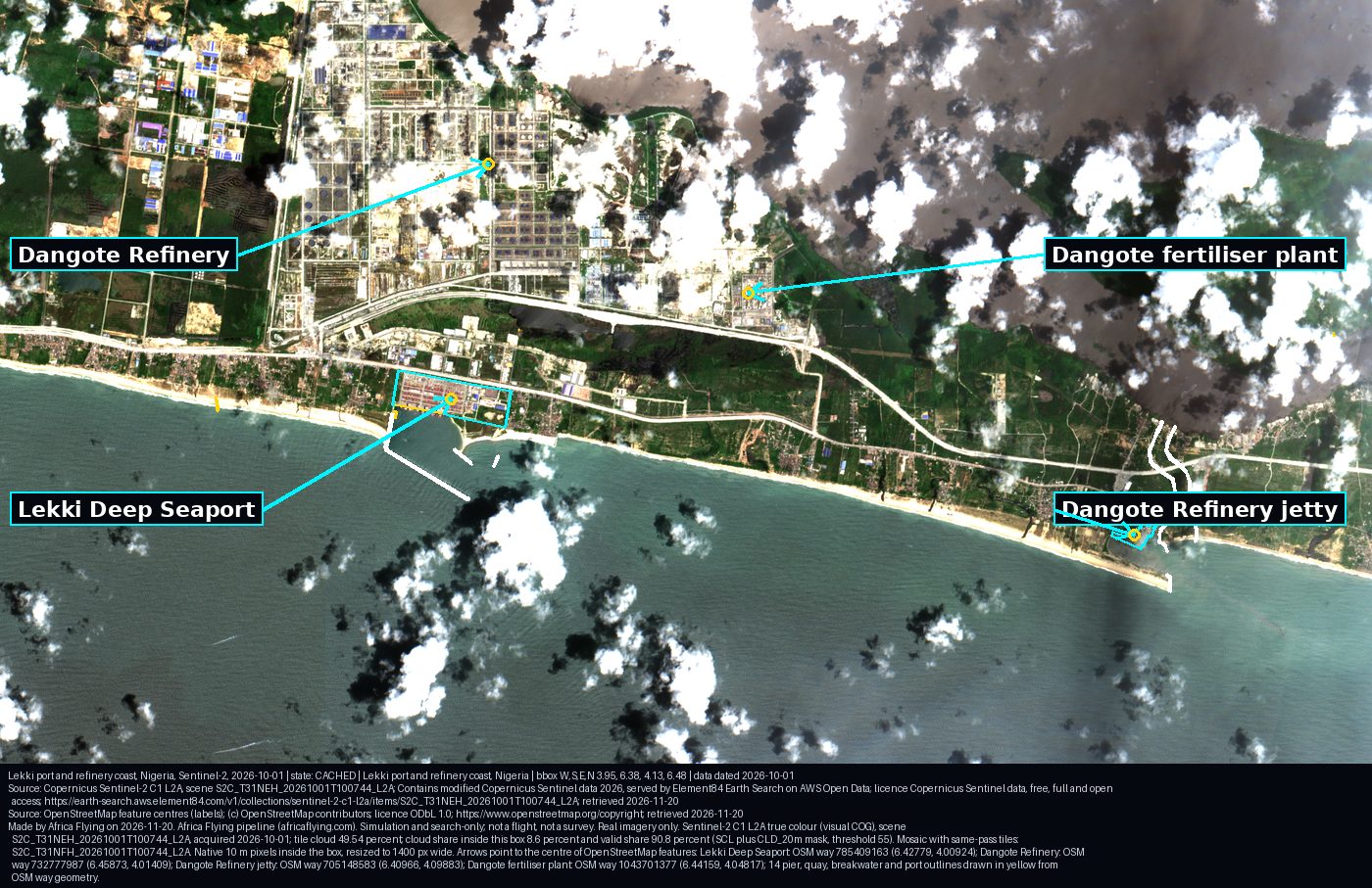

Lekki Deep Seaport and the refinery coast east of Lagos.
South: South Africa
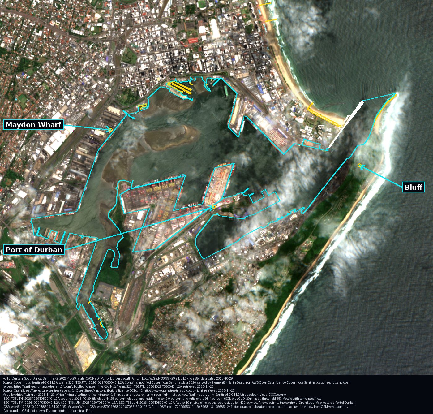

The Port of Durban, with this week's public status.
The LAPSSET legs, counted
| Leg | Sentinel-2 scenes, 90 days | Sentinel-1 passes, 90 days | 10 km road cells (OpenStreetMap trunk and primary roads) |
|---|---|---|---|
| Garissa to Isiolo | 541 | 63 | 106 |
| Isiolo to Moyale (comparison leg) | 834 | 128 | 117 |
| Isiolo to Lokichar | 621 | 94 | 151 |