Coast method
Lamu has a then-and-now method: nearest usable scenes, cloud stated, no stand-in image. Lagos has one saved Sentinel-2 crop. That crop is not a second date, and it is not a corridor product.
“Nearest usable scene” means the clearest scene found near the target year, with its cloud share stated. It is not a composite. A cloud-free composite of the 1984–90 Landsat archive is not published. The page says “Baseline not published yet” and shows the single scenes below. The full page is Lamu then and now.
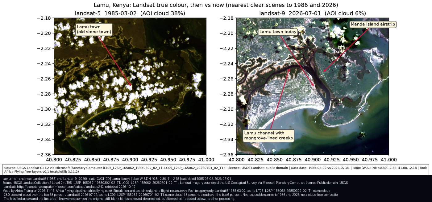
Later Sentinel-2 crops of the Lamu port area are on that page. 27 Jun 2026 is scene S2A_37MGT_20260627_1_L2A, whole-scene cloud 1.7 percent, 5.3 percent inside the port crop. 28 Sep 2026 is scene S2B_37MGT_20260928_0_L2A, whole-scene cloud 23.9 percent, 3.0 percent inside the crop. The overview crop from 27 Jun 2026 has 4.0 percent cloud inside the crop. The port label is the centre of the OpenStreetMap polygon “Port of Lamu”. It is approximate, and no berth is located.
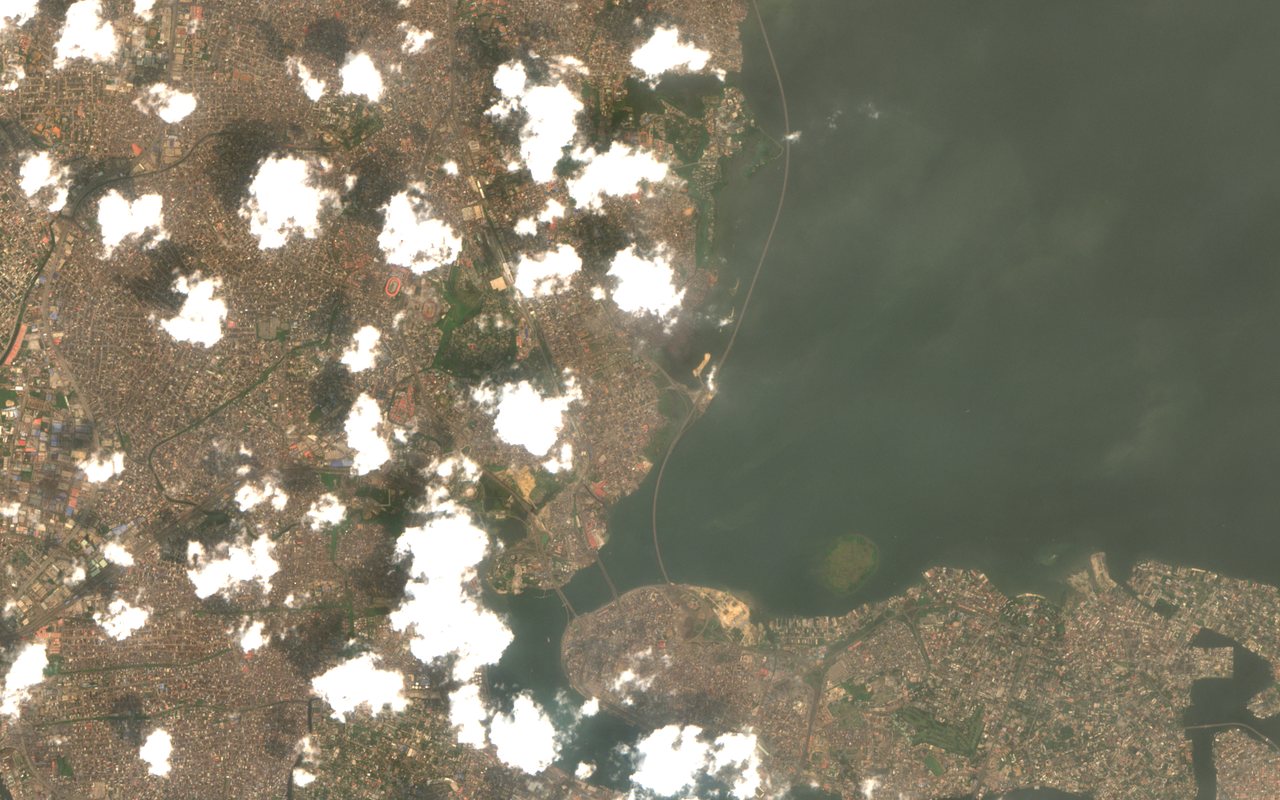
The Lagos picture is one crop from scene S2C_31NEH_20260124_0_L2A, 24 Jan 2026, tile 31NEH. No second Lagos scene is stored beside it. It does not locate Lekki port. Lekki Portal is a planning description and an open-list name, not this picture.
Kenya remains the saved corridor. No observed Nigeria corridor video is stored. This is not a flight clearance.