Nigeria candidates
Ten projects sit beside the LAPSSET case. This is a planning list. It is not a measured corridor, and it is not a second corridor client.
LAPSSET is the saved public corridor: a deep-sea port, roads, planned rail, and pipelines, studied with open satellite data. The lengths and stages below are project descriptions recorded on 14 Nov 2026. They are not Africa Flying measurements.
Two saved pictures are on this page. Neither one is a construction series for these ten projects.
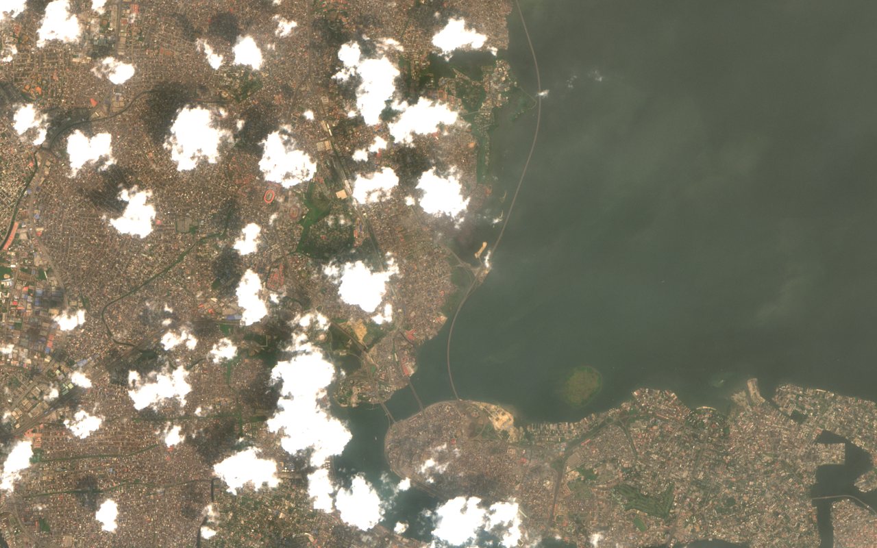
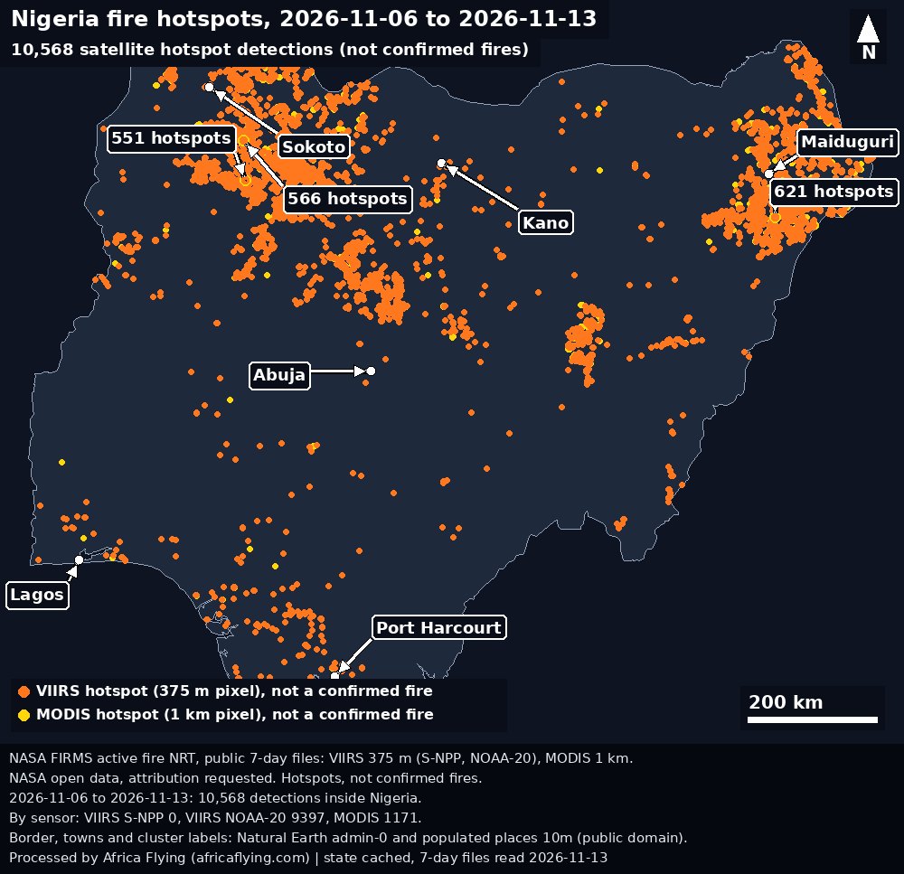
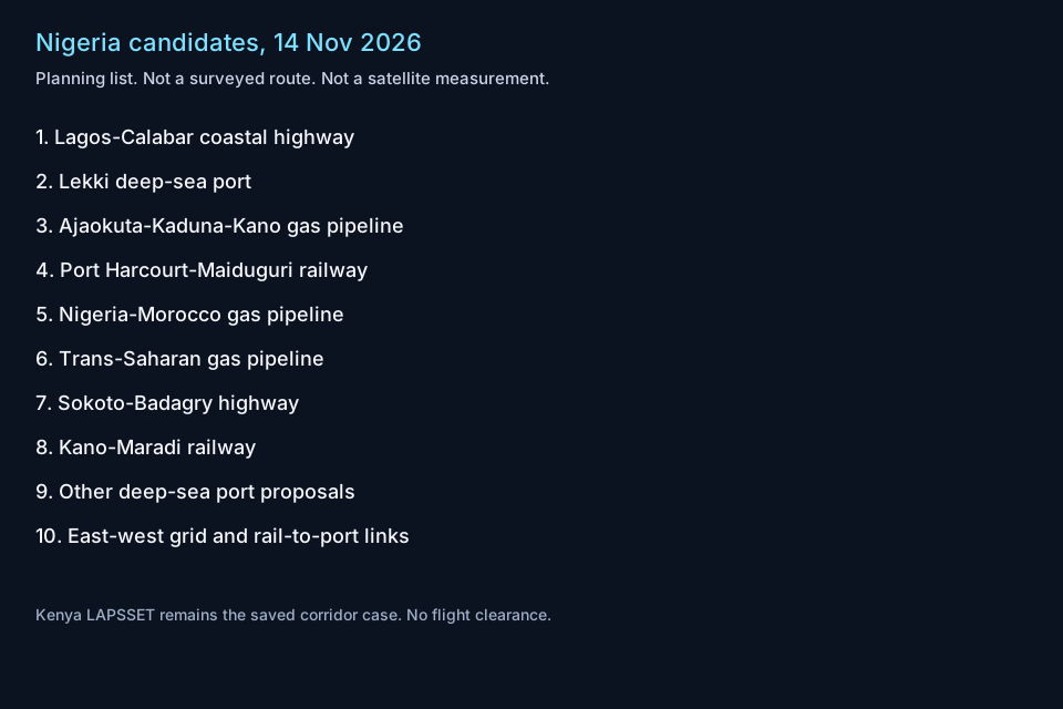
No observed video of these corridors is in the saved records. The stills above are the pictures this page can show.
The open airfield and port file for Nigeria, retrieved 2026-10-13, has 67 airfields and 28 ports. It is the OurAirports and World Port Index copy. It is not the Kenya second-source check and it is not a route map. Open the Nigeria list. Written names are on Nigeria airfield names and Nigeria port names. Country readings stay on the Nigeria country page. The saved corridor case remains LAPSSET.
These projects are linear or node-and-corridor features. Open Sentinel-2, Sentinel-1, and Landsat scenes are the same family of sources already used on LAPSSET. A later time series is possible where construction is visible. This page does not start that series. Kenya remains the saved corridor case. A point forecast stored on the development machine is not a forecast on this public site. Uncertainty is not measured. None of this is a flight clearance.
- Lagos–Calabar coastal highway. Described as a multi-lane coastal highway of about 700–750 km from the Victoria Island area of Lagos through the coastal states to Cross River, with sections under construction or recently opened. A road of that length is the kind of line open optical and radar imagery can follow. This site has not measured that construction.
- Lekki deep-sea port and the Lekki Free Zone. Described as Nigeria’s first major deep-water port, with a stated draft of 16.5 m, and as already handling cargo. The saved open list, retrieved 2026-10-13, includes a port named Lekki. That name is not a measurement of draft, throughput, or expansion. The page for this description is Lekki Portal.
- Ajaokuta–Kaduna–Kano gas pipeline. Described as about 614 km of 40-inch pipe running north from Ajaokuta, with mainline welding largely complete, including a River Niger crossing, and with stations and offtakes still remaining. This site has not surveyed that right of way.
- Port Harcourt–Maiduguri railway. Described as an eastern rail rehabilitation meant to connect the south with the north-east. The open list includes Port Harcourt and Maiduguri airports and a Port Harcourt port. Those records are not a rail alignment.
- Nigeria–Morocco gas pipeline. Described as a planned multi-country line, with a Nigerian segment and an offshore extension. A planned line is not a built corridor on this site.
- Trans-Saharan gas pipeline. Described as a proposed route from Nigeria through Niger into Algeria. It stays a planning route here. Niger and Nigeria stay separate names.
- Sokoto–Badagry highway. Described as a north–south highway between the north-west and the Lagos area. This site has not measured its construction.
- Kano–Maradi railway. Described as a cross-border standard-gauge line from Kano toward Maradi in Niger. The open list includes Mallam Aminu Kano International Airport. That airport is not the railway.
- Other deep-sea port proposals. Names on this planning list: Ibom, Bakassi, Bonny, Gateway in Ogun, Ondo, and Agge, beside upgrades described for Onne, Calabar, and Port Harcourt. The open list includes Bonny, Onne, Calabar, Port Harcourt, Lagos, and Tin Can Island. A name on that list is not a construction stage.
- East–west grid and rail-to-port links. Described as a planned east–west transmission grid, and as work to tie standard-gauge rail more closely to Apapa and Tin Can. Tin Can Island is a name on the open port list. The grid and the rail links are not measured here.