Scene gallery
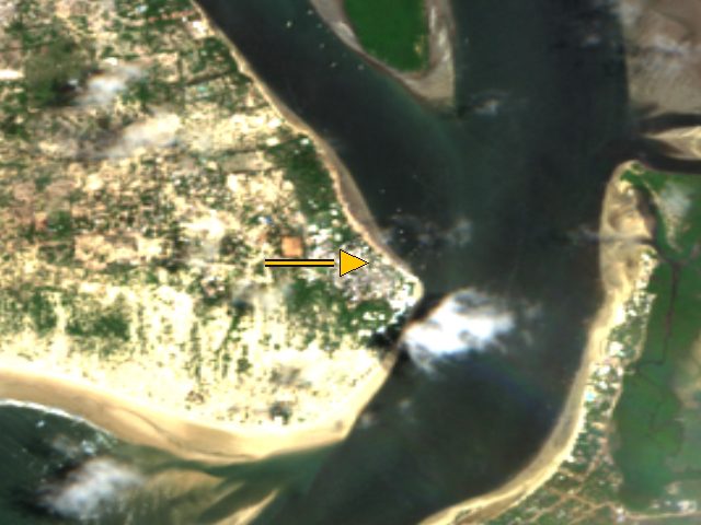
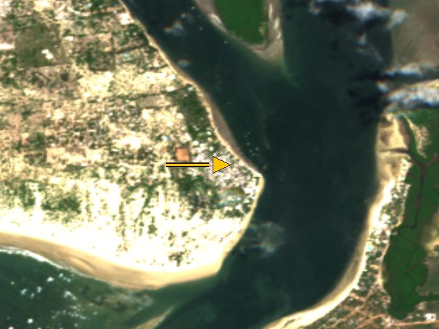
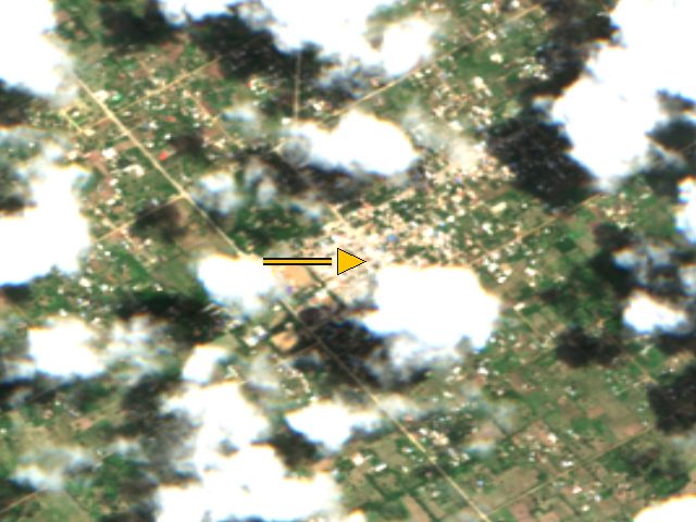
Credited Sentinel-2 crops of the 12 stored Lamu anchors. The single paired comparison stays on Lamu then and now .
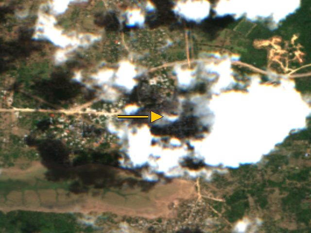
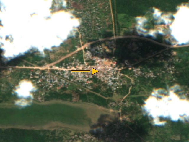
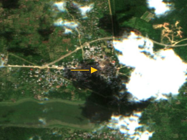
These frames are catalog crops. They are not a pass count, not a surveyed map, and not a flight. Whole-scene cloud cover is the scene's own figure, not a mask result.
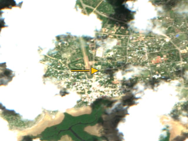
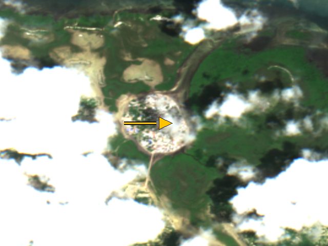
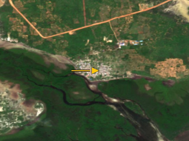
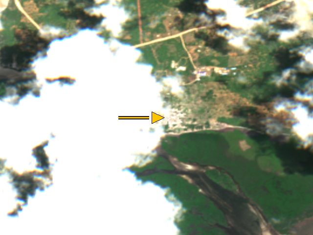
Lamu, Kenya
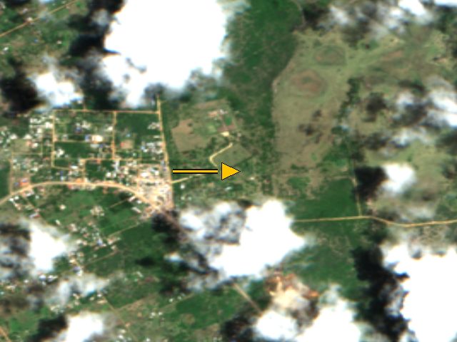
Lamu, Sentinel-2, 2026-10-15. The arrow marks the stored coordinate (-2.2667, 40.9), not a surveyed building. Whole-scene cloud cover 21.1 percent.Credit: Contains modified Copernicus Sentinel-2 data 2026, processed by ESA; served by Element84 Earth Search on AWS Open Data Licence: Copernicus Sentinel data, free, full and open access (EU Regulation 1159/2013); attribution required . Source . Shela, Kenya
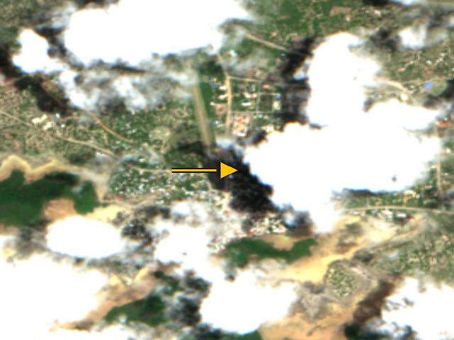
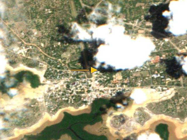
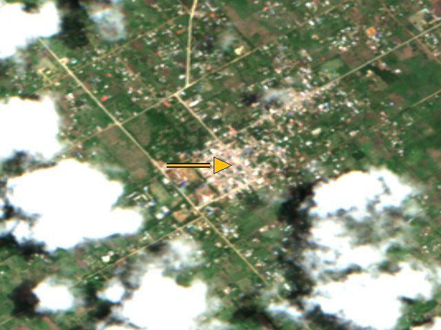
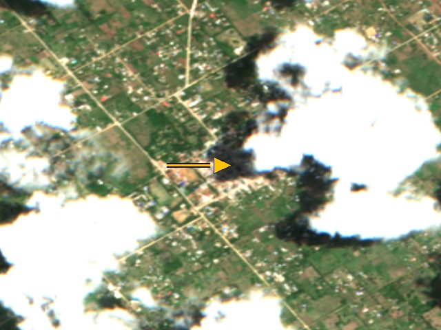
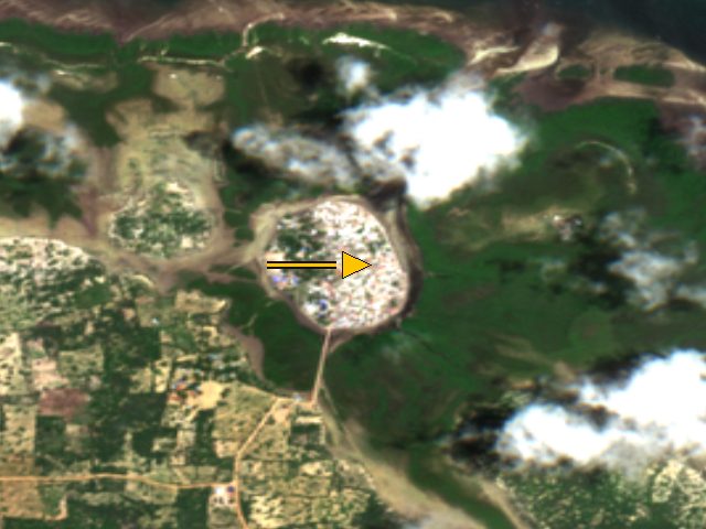
Shela, Sentinel-2, 2026-10-15. The arrow marks the stored coordinate (-2.293, 40.914), not a surveyed building. Whole-scene cloud cover 21.1 percent.Credit: Contains modified Copernicus Sentinel-2 data 2026, processed by ESA; served by Element84 Earth Search on AWS Open Data Licence: Copernicus Sentinel data, free, full and open access (EU Regulation 1159/2013); attribution required . Source . Shela, Sentinel-2, 2026-09-28. The arrow marks the stored coordinate (-2.293, 40.914), not a surveyed building. Whole-scene cloud cover 23.9 percent.Credit: Contains modified Copernicus Sentinel-2 data 2026, processed by ESA; served by Element84 Earth Search on AWS Open Data Licence: Copernicus Sentinel data, free, full and open access (EU Regulation 1159/2013); attribution required . Source . Shela, Sentinel-2, 2026-09-25. The arrow marks the stored coordinate (-2.293, 40.914), not a surveyed building. Whole-scene cloud cover 13.5 percent.Credit: Contains modified Copernicus Sentinel-2 data 2026, processed by ESA; served by Element84 Earth Search on AWS Open Data Licence: Copernicus Sentinel data, free, full and open access (EU Regulation 1159/2013); attribution required . Source . Mokowe, Kenya
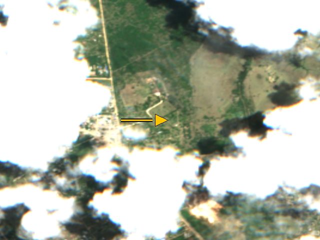
Mokowe, Sentinel-2, 2026-10-15. The arrow marks the stored coordinate (-2.234, 40.847), not a surveyed building. Whole-scene cloud cover 21.1 percent.Credit: Contains modified Copernicus Sentinel-2 data 2026, processed by ESA; served by Element84 Earth Search on AWS Open Data Licence: Copernicus Sentinel data, free, full and open access (EU Regulation 1159/2013); attribution required . Source . Mokowe, Sentinel-2, 2026-09-28. The arrow marks the stored coordinate (-2.234, 40.847), not a surveyed building. Whole-scene cloud cover 21.6 percent.Credit: Contains modified Copernicus Sentinel-2 data 2026, processed by ESA; served by Element84 Earth Search on AWS Open Data Licence: Copernicus Sentinel data, free, full and open access (EU Regulation 1159/2013); attribution required . Source . Mokowe, Sentinel-2, 2026-09-25. The arrow marks the stored coordinate (-2.234, 40.847), not a surveyed building. Whole-scene cloud cover 17.7 percent.Credit: Contains modified Copernicus Sentinel-2 data 2026, processed by ESA; served by Element84 Earth Search on AWS Open Data Licence: Copernicus Sentinel data, free, full and open access (EU Regulation 1159/2013); attribution required . Source . Hindi, Kenya
Hindi, Sentinel-2, 2026-10-15. The arrow marks the stored coordinate (-2.178, 40.819), not a surveyed building. Whole-scene cloud cover 21.1 percent.Credit: Contains modified Copernicus Sentinel-2 data 2026, processed by ESA; served by Element84 Earth Search on AWS Open Data Licence: Copernicus Sentinel data, free, full and open access (EU Regulation 1159/2013); attribution required . Source . Hindi, Sentinel-2, 2026-09-28. The arrow marks the stored coordinate (-2.178, 40.819), not a surveyed building. Whole-scene cloud cover 21.6 percent.Credit: Contains modified Copernicus Sentinel-2 data 2026, processed by ESA; served by Element84 Earth Search on AWS Open Data Licence: Copernicus Sentinel data, free, full and open access (EU Regulation 1159/2013); attribution required . Source . Hindi, Sentinel-2, 2026-09-25. The arrow marks the stored coordinate (-2.178, 40.819), not a surveyed building. Whole-scene cloud cover 17.7 percent.Credit: Contains modified Copernicus Sentinel-2 data 2026, processed by ESA; served by Element84 Earth Search on AWS Open Data Licence: Copernicus Sentinel data, free, full and open access (EU Regulation 1159/2013); attribution required . Source . Mpeketoni, Kenya
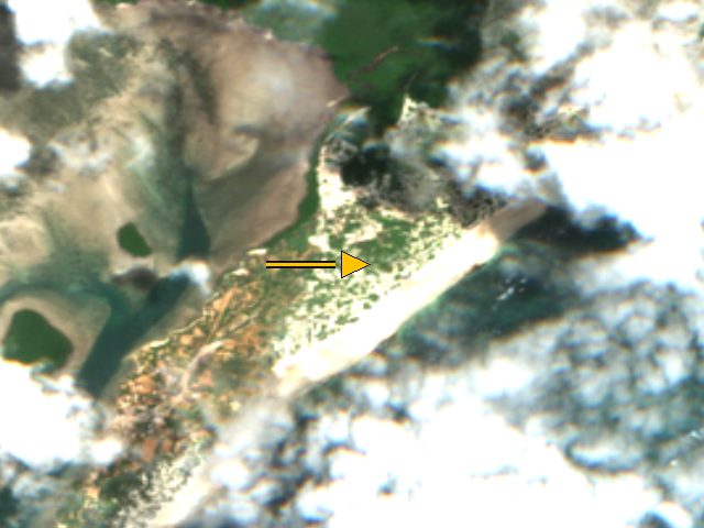
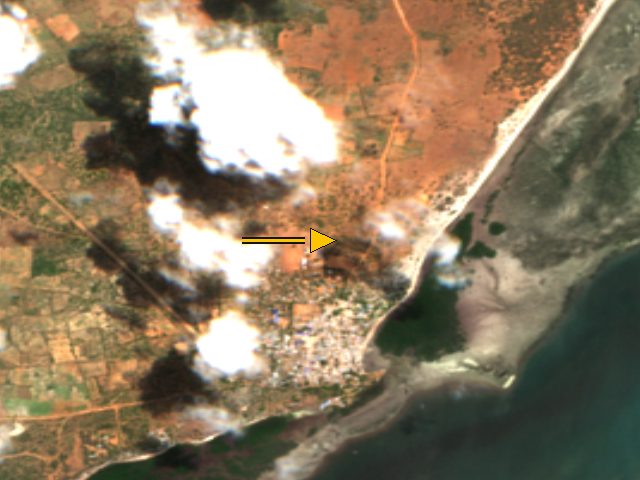
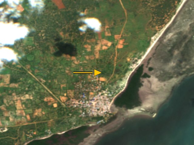
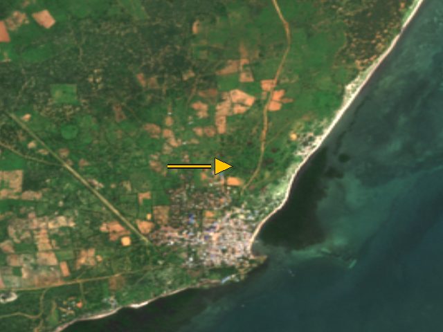
Mpeketoni, Sentinel-2, 2026-09-28. The arrow marks the stored coordinate (-2.38913, 40.69812), not a surveyed building. Whole-scene cloud cover 21.6 percent.Credit: Contains modified Copernicus Sentinel-2 data 2026, processed by ESA; served by Element84 Earth Search on AWS Open Data Licence: Copernicus Sentinel data, free, full and open access (EU Regulation 1159/2013); attribution required . Source . Mpeketoni, Sentinel-2, 2026-09-25. The arrow marks the stored coordinate (-2.38913, 40.69812), not a surveyed building. Whole-scene cloud cover 17.7 percent.Credit: Contains modified Copernicus Sentinel-2 data 2026, processed by ESA; served by Element84 Earth Search on AWS Open Data Licence: Copernicus Sentinel data, free, full and open access (EU Regulation 1159/2013); attribution required . Source . Mpeketoni, Sentinel-2, 2026-09-13. The arrow marks the stored coordinate (-2.38913, 40.69812), not a surveyed building. Whole-scene cloud cover 21.0 percent.Credit: Contains modified Copernicus Sentinel-2 data 2026, processed by ESA; served by Element84 Earth Search on AWS Open Data Licence: Copernicus Sentinel data, free, full and open access (EU Regulation 1159/2013); attribution required . Source . Witu, Kenya
Witu, Sentinel-2, 2026-09-08. The arrow marks the stored coordinate (-2.38892, 40.43827), not a surveyed building. Whole-scene cloud cover 19.3 percent.Credit: Contains modified Copernicus Sentinel-2 data 2026, processed by ESA; served by Element84 Earth Search on AWS Open Data Licence: Copernicus Sentinel data, free, full and open access (EU Regulation 1159/2013); attribution required . Source . Witu, Sentinel-2, 2026-08-02. The arrow marks the stored coordinate (-2.38892, 40.43827), not a surveyed building. Whole-scene cloud cover 15.2 percent.Credit: Contains modified Copernicus Sentinel-2 data 2026, processed by ESA; served by Element84 Earth Search on AWS Open Data Licence: Copernicus Sentinel data, free, full and open access (EU Regulation 1159/2013); attribution required . Source . Witu, Sentinel-2, 2026-07-18. The arrow marks the stored coordinate (-2.38892, 40.43827), not a surveyed building. Whole-scene cloud cover 20.4 percent.Credit: Contains modified Copernicus Sentinel-2 data 2026, processed by ESA; served by Element84 Earth Search on AWS Open Data Licence: Copernicus Sentinel data, free, full and open access (EU Regulation 1159/2013); attribution required . Source . Faza, Kenya
Faza, Sentinel-2, 2026-10-15. The arrow marks the stored coordinate (-2.056, 41.112), not a surveyed building. Whole-scene cloud cover 21.1 percent.Credit: Contains modified Copernicus Sentinel-2 data 2026, processed by ESA; served by Element84 Earth Search on AWS Open Data Licence: Copernicus Sentinel data, free, full and open access (EU Regulation 1159/2013); attribution required . Source . Faza, Sentinel-2, 2026-09-28. The arrow marks the stored coordinate (-2.056, 41.112), not a surveyed building. Whole-scene cloud cover 23.9 percent.Credit: Contains modified Copernicus Sentinel-2 data 2026, processed by ESA; served by Element84 Earth Search on AWS Open Data Licence: Copernicus Sentinel data, free, full and open access (EU Regulation 1159/2013); attribution required . Source . Faza, Sentinel-2, 2026-09-25. The arrow marks the stored coordinate (-2.056, 41.112), not a surveyed building. Whole-scene cloud cover 13.5 percent.Credit: Contains modified Copernicus Sentinel-2 data 2026, processed by ESA; served by Element84 Earth Search on AWS Open Data Licence: Copernicus Sentinel data, free, full and open access (EU Regulation 1159/2013); attribution required . Source . Pate, Kenya
Pate, Sentinel-2, 2026-10-15. The arrow marks the stored coordinate (-2.142, 40.998), not a surveyed building. Whole-scene cloud cover 21.1 percent.Credit: Contains modified Copernicus Sentinel-2 data 2026, processed by ESA; served by Element84 Earth Search on AWS Open Data Licence: Copernicus Sentinel data, free, full and open access (EU Regulation 1159/2013); attribution required . Source . Pate, Sentinel-2, 2026-09-28. The arrow marks the stored coordinate (-2.142, 40.998), not a surveyed building. Whole-scene cloud cover 23.9 percent.Credit: Contains modified Copernicus Sentinel-2 data 2026, processed by ESA; served by Element84 Earth Search on AWS Open Data Licence: Copernicus Sentinel data, free, full and open access (EU Regulation 1159/2013); attribution required . Source . Pate, Sentinel-2, 2026-09-25. The arrow marks the stored coordinate (-2.142, 40.998), not a surveyed building. Whole-scene cloud cover 13.5 percent.Credit: Contains modified Copernicus Sentinel-2 data 2026, processed by ESA; served by Element84 Earth Search on AWS Open Data Licence: Copernicus Sentinel data, free, full and open access (EU Regulation 1159/2013); attribution required . Source . Kiwayu, Kenya
Kiwayu, Sentinel-2, 2026-10-15. The arrow marks the stored coordinate (-2.012, 41.27), not a surveyed building. Whole-scene cloud cover 21.1 percent.Credit: Contains modified Copernicus Sentinel-2 data 2026, processed by ESA; served by Element84 Earth Search on AWS Open Data Licence: Copernicus Sentinel data, free, full and open access (EU Regulation 1159/2013); attribution required . Source . Kiwayu, Sentinel-2, 2026-09-28. The arrow marks the stored coordinate (-2.012, 41.27), not a surveyed building. Whole-scene cloud cover 23.9 percent.Credit: Contains modified Copernicus Sentinel-2 data 2026, processed by ESA; served by Element84 Earth Search on AWS Open Data Licence: Copernicus Sentinel data, free, full and open access (EU Regulation 1159/2013); attribution required . Source . Kiwayu, Sentinel-2, 2026-09-25. The arrow marks the stored coordinate (-2.012, 41.27), not a surveyed building. Whole-scene cloud cover 13.5 percent.Credit: Contains modified Copernicus Sentinel-2 data 2026, processed by ESA; served by Element84 Earth Search on AWS Open Data Licence: Copernicus Sentinel data, free, full and open access (EU Regulation 1159/2013); attribution required . Source . Kiunga, Kenya
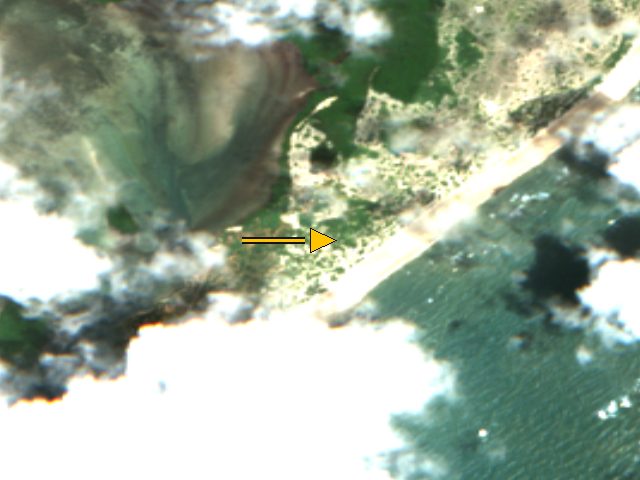
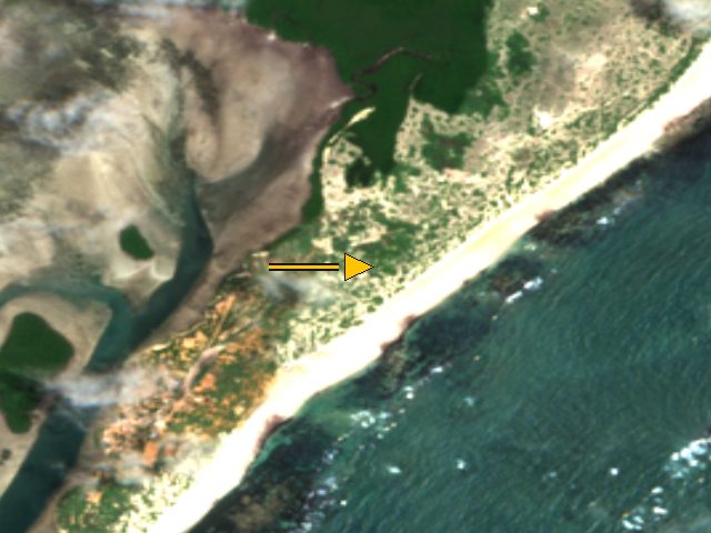
Kiunga, Sentinel-2, 2026-08-14. The arrow marks the stored coordinate (-1.74, 41.49), not a surveyed building. Whole-scene cloud cover 21.5 percent.Credit: Contains modified Copernicus Sentinel-2 data 2026, processed by ESA; served by Element84 Earth Search on AWS Open Data Licence: Copernicus Sentinel data, free, full and open access (EU Regulation 1159/2013); attribution required . Source . Kiunga, Sentinel-2, 2026-07-15. The arrow marks the stored coordinate (-1.74, 41.49), not a surveyed building. Whole-scene cloud cover 24.1 percent.Credit: Contains modified Copernicus Sentinel-2 data 2026, processed by ESA; served by Element84 Earth Search on AWS Open Data Licence: Copernicus Sentinel data, free, full and open access (EU Regulation 1159/2013); attribution required . Source . Kiunga, Sentinel-2, 2026-07-10. The arrow marks the stored coordinate (-1.74, 41.49), not a surveyed building. Whole-scene cloud cover 18.7 percent.Credit: Contains modified Copernicus Sentinel-2 data 2026, processed by ESA; served by Element84 Earth Search on AWS Open Data Licence: Copernicus Sentinel data, free, full and open access (EU Regulation 1159/2013); attribution required . Source . Lamu Old Town waterfront (heritage harbour), Kenya
Lamu Old Town waterfront (heritage harbour), Sentinel-2, 2026-10-15. The arrow marks the stored coordinate (-2.2717, 40.902), not a surveyed building. Whole-scene cloud cover 21.1 percent.Credit: Contains modified Copernicus Sentinel-2 data 2026, processed by ESA; served by Element84 Earth Search on AWS Open Data Licence: Copernicus Sentinel data, free, full and open access (EU Regulation 1159/2013); attribution required . Source . Kililana / Manda Bay commercial port, Kenya
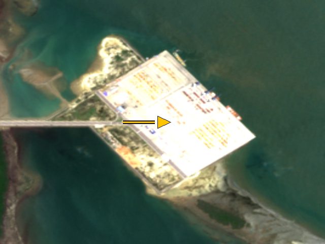
Kililana / Manda Bay commercial port, Sentinel-2, 2026-10-15. The arrow marks the stored coordinate (-2.1983, 40.9336), not a surveyed building. Whole-scene cloud cover 21.1 percent.Credit: Contains modified Copernicus Sentinel-2 data 2026, processed by ESA; served by Element84 Earth Search on AWS Open Data Licence: Copernicus Sentinel data, free, full and open access (EU Regulation 1159/2013); attribution required . Source . Kililana / Manda Bay commercial port, Sentinel-2, 2026-09-28. The arrow marks the stored coordinate (-2.1983, 40.9336), not a surveyed building. Whole-scene cloud cover 23.9 percent.Credit: Contains modified Copernicus Sentinel-2 data 2026, processed by ESA; served by Element84 Earth Search on AWS Open Data Licence: Copernicus Sentinel data, free, full and open access (EU Regulation 1159/2013); attribution required . Source . Kililana / Manda Bay commercial port, Sentinel-2, 2026-09-25. The arrow marks the stored coordinate (-2.1983, 40.9336), not a surveyed building. Whole-scene cloud cover 13.5 percent.Credit: Contains modified Copernicus Sentinel-2 data 2026, processed by ESA; served by Element84 Earth Search on AWS Open Data Licence: Copernicus Sentinel data, free, full and open access (EU Regulation 1159/2013); attribution required . Source .