22 September 2026 · Africa Flying
Satellite coverage, counted from the database
The honest count is the table, not the older slide decks.
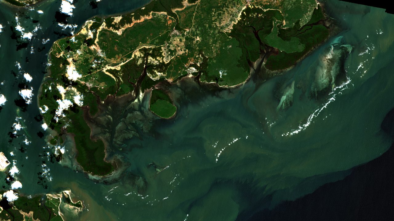
On 22 September 2026, the satellite table held 8,754 rows in 19 countries. The mix was 4,067 precipitation, 3,193 NDVI, and 1,493 enhanced NDVI. Sentinel-1 and Sentinel-3 are wired in the ingester and are still nearly empty in this table.
The Africa-wide town-list ingest covers 2,647 towns, one Sentinel-2 and CHIRPS request set per town. It stopped after town 515, Mokolo in central Cameroon, when the stack was shut down at midday. Town 516, Kousséri, was mid-download and has to be retried; the resume run skips the towns already done.
A six-hourly job also calls ingest once, at the default Kenya point near latitude −0.0236, longitude 37.9062. That job wrote the extra row after the checkpoint. It is not part of the town-list run.
Country averages for the map come from the satellite service. The NDVI map is capped at 1,000 features.