14 November 2026 · Africa Flying
Kenya places and twelve planner lines
The Kenya places page lists 233 town-access rows. Distances are haversine on a 6371 km sphere, not surveyed roads. The planning envelope is assumed. This is simulation and planning, not a flight.
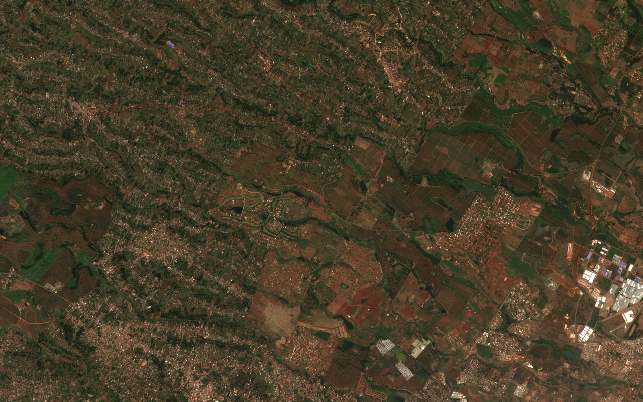
On that page the nearest-hub bands are 114 at 10 km or closer, 81 at 10 to 25 km, 33 at 25 to 50 km, and 5 farther than 50 km. The hub kind is an airfield on 228 rows and a port on 5 rows.
Every underserved flag on the page is pending road data. That is not a finding that a road is missing. Olulung’a is one of the 10 to 25 km rows. The twelve planner lines are on Kenya planner lines. Each line repeats the same rule: assumed envelope, pending road data, not a flight.