All posts LAPSSET

17 October 2026 · Kate

What the public corridor showed on 17 October

This note is the public record for one day. It is a software pipeline and a catalog of scenes. Nothing here is a flight operation.

The public LAPSSET summary showed 12 towns, 80 stored passes, and 5 water edges. Usable passes stayed 0. The five water edges are Mokowe to Lamu, Shela, Pate, Faza, and Kiwayu, and each stored line is still null.

One speed read, window 20261017T1113Z-read, measured ingest at 3.997 Mbit/s, an API p95 of 774.7 ms, and a cache hit fraction of 0.75. The page rounds those figures. Queue lag and the last finished job were not measured, because the public job table had no rows.

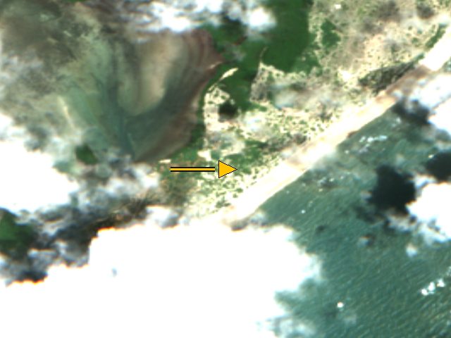
The pictures below are Sentinel-2 true-colour crops centred on stored coordinates. The arrow is that stored point, not a surveyed building. The figures already on the corridor pages stay.
Sentinel-2 true-colour crop centred on the stored coordinate for Lamu, Kenya, acquired 2026-10-15. An arrow marks that stored point. Whole-scene cloud cover is 21.1 percent. This is a catalog crop, not a surveyed map and not a flight.
Lamu, Sentinel-2, 2026-10-15. The arrow marks the stored coordinate (-2.2667, 40.9), not a surveyed building. Whole-scene cloud cover 21.1 percent.Credit: Contains modified Copernicus Sentinel-2 data 2026, processed by ESA; served by Element84 Earth Search on AWS Open Data. Licence: Copernicus Sentinel data, free, full and open access (EU Regulation 1159/2013); attribution required. Source.
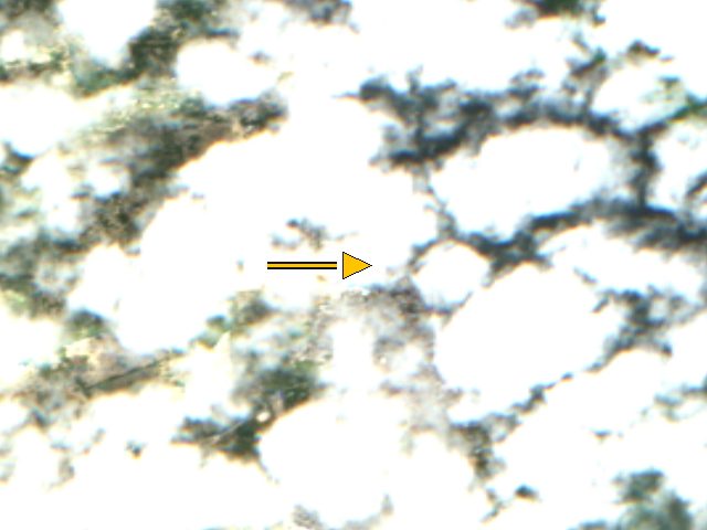
Sentinel-2 true-colour crop centred on the stored coordinate for Kililana / Manda Bay commercial port, Kenya, acquired 2026-10-15. An arrow marks that stored point. Whole-scene cloud cover is 21.1 percent. This is a catalog crop, not a surveyed map and not a flight.
Kililana / Manda Bay commercial port, Sentinel-2, 2026-10-15. The arrow marks the stored coordinate (-2.1983, 40.9336), not a surveyed building. Whole-scene cloud cover 21.1 percent.Credit: Contains modified Copernicus Sentinel-2 data 2026, processed by ESA; served by Element84 Earth Search on AWS Open Data. Licence: Copernicus Sentinel data, free, full and open access (EU Regulation 1159/2013); attribution required. Source.
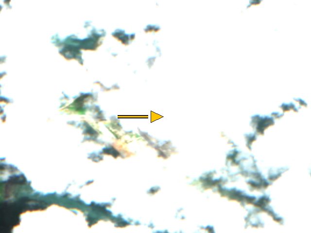
Sentinel-2 true-colour crop centred on the stored coordinate for Kiwayu, Kenya, acquired 2026-10-15. An arrow marks that stored point. Whole-scene cloud cover is 21.1 percent. This is a catalog crop, not a surveyed map and not a flight.
Kiwayu, Sentinel-2, 2026-10-15. The arrow marks the stored coordinate (-2.012, 41.27), not a surveyed building. Whole-scene cloud cover 21.1 percent.Credit: Contains modified Copernicus Sentinel-2 data 2026, processed by ESA; served by Element84 Earth Search on AWS Open Data. Licence: Copernicus Sentinel data, free, full and open access (EU Regulation 1159/2013); attribution required. Source.

The same counts are on the LAPSSET page. The pipeline badge is on the status page.

Written for the Africa Flying blog, 17 October 2026. Pre-operations: simulation and partial ingest, not a flight operation.